March 11, 2022 - Funfly Over the Big Marsh
I only flew Nik around for fifteen minutes or so. Since I hadn't flown my RV in over five weeks, I wanted to do more flying than that so I hopped back in the RV and headed across the Chesapeake Bay.
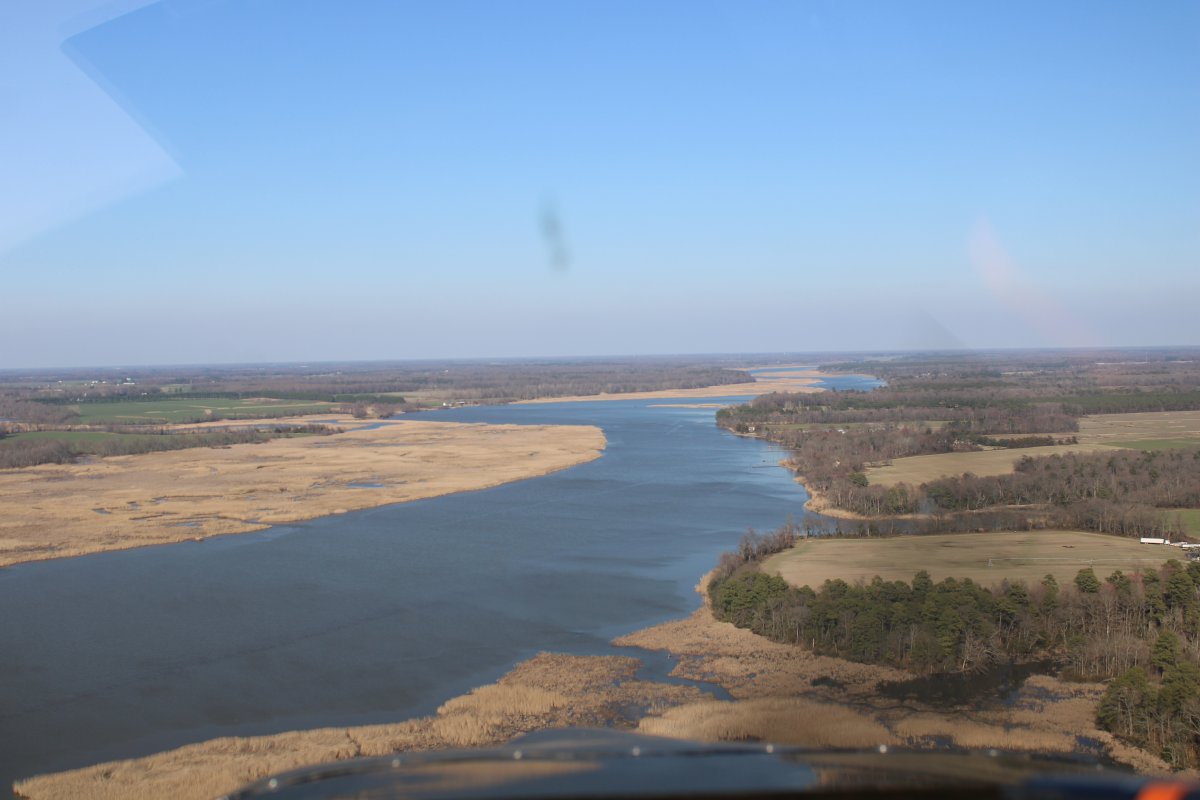
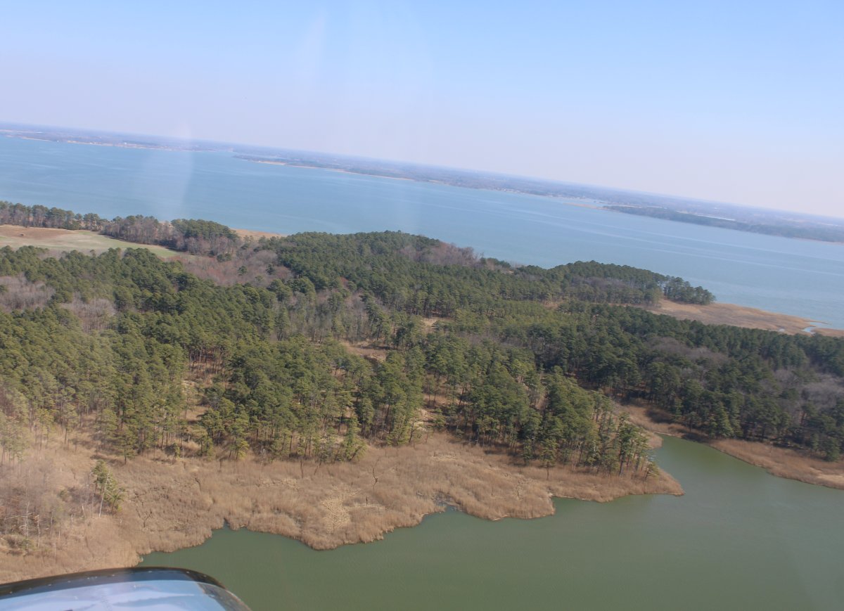
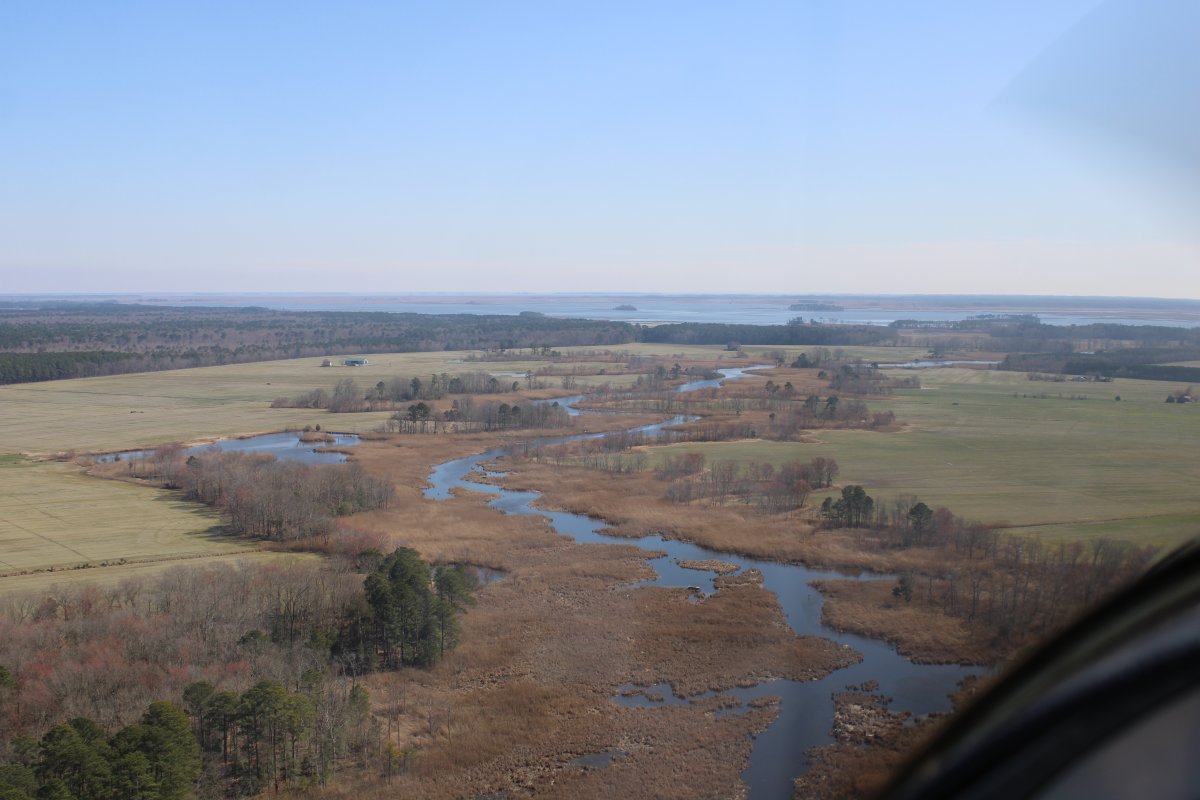
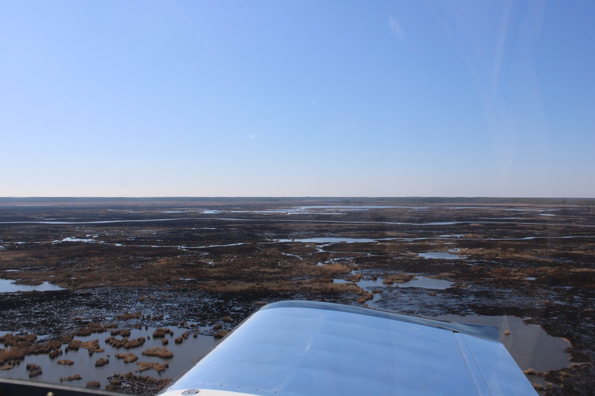
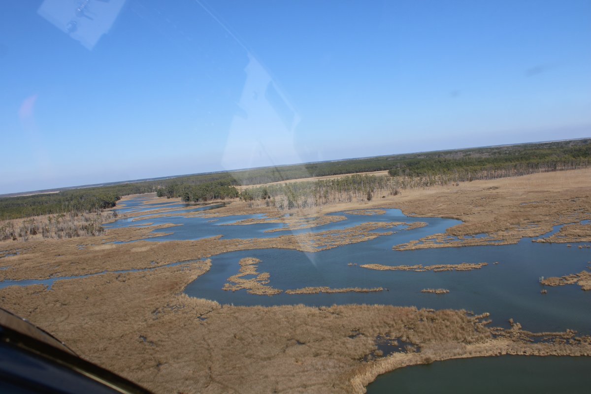
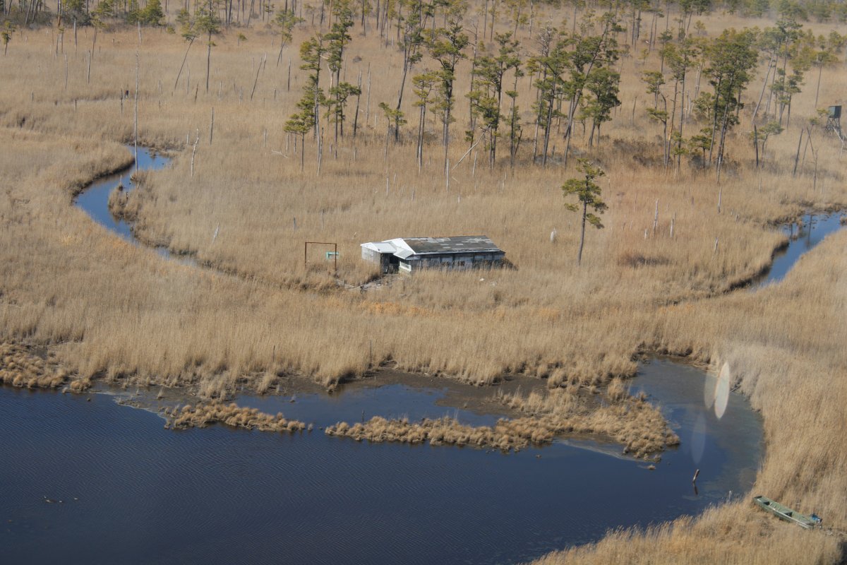
Here I'm approaching the Eastern Shore, as we call it. As you can see, everything is still pretty brown and drab.
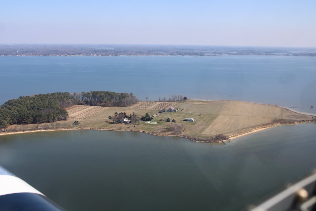
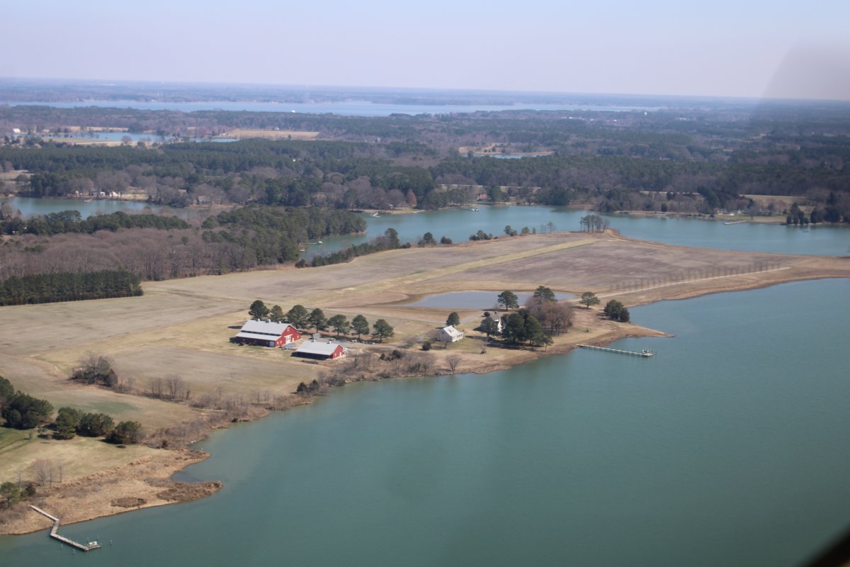
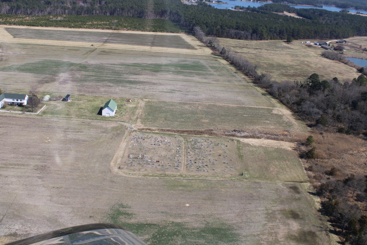
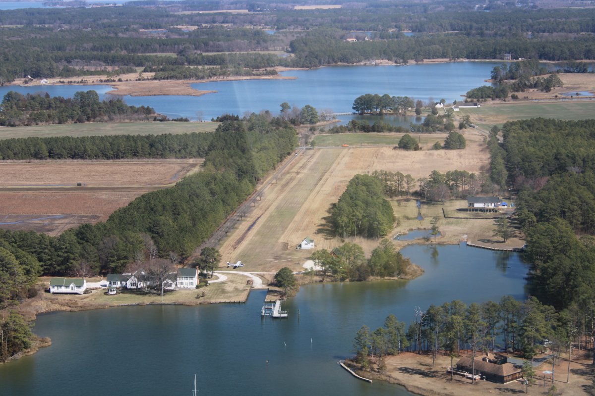
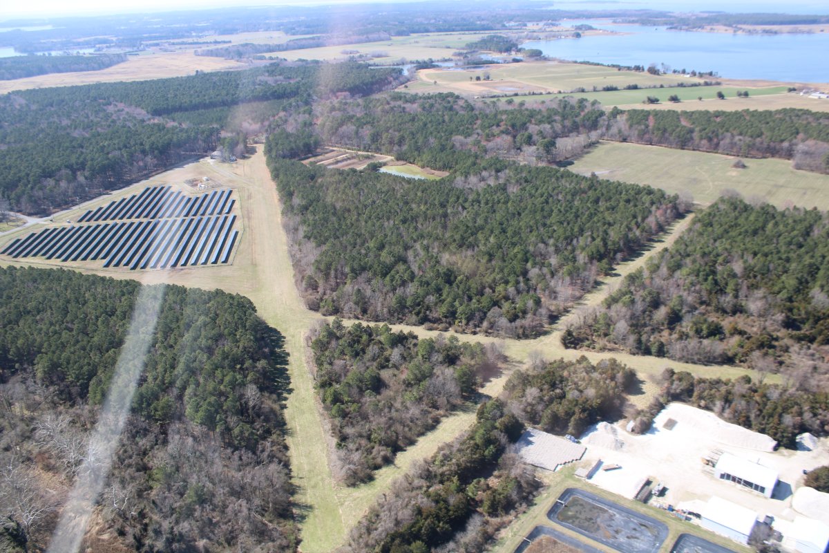
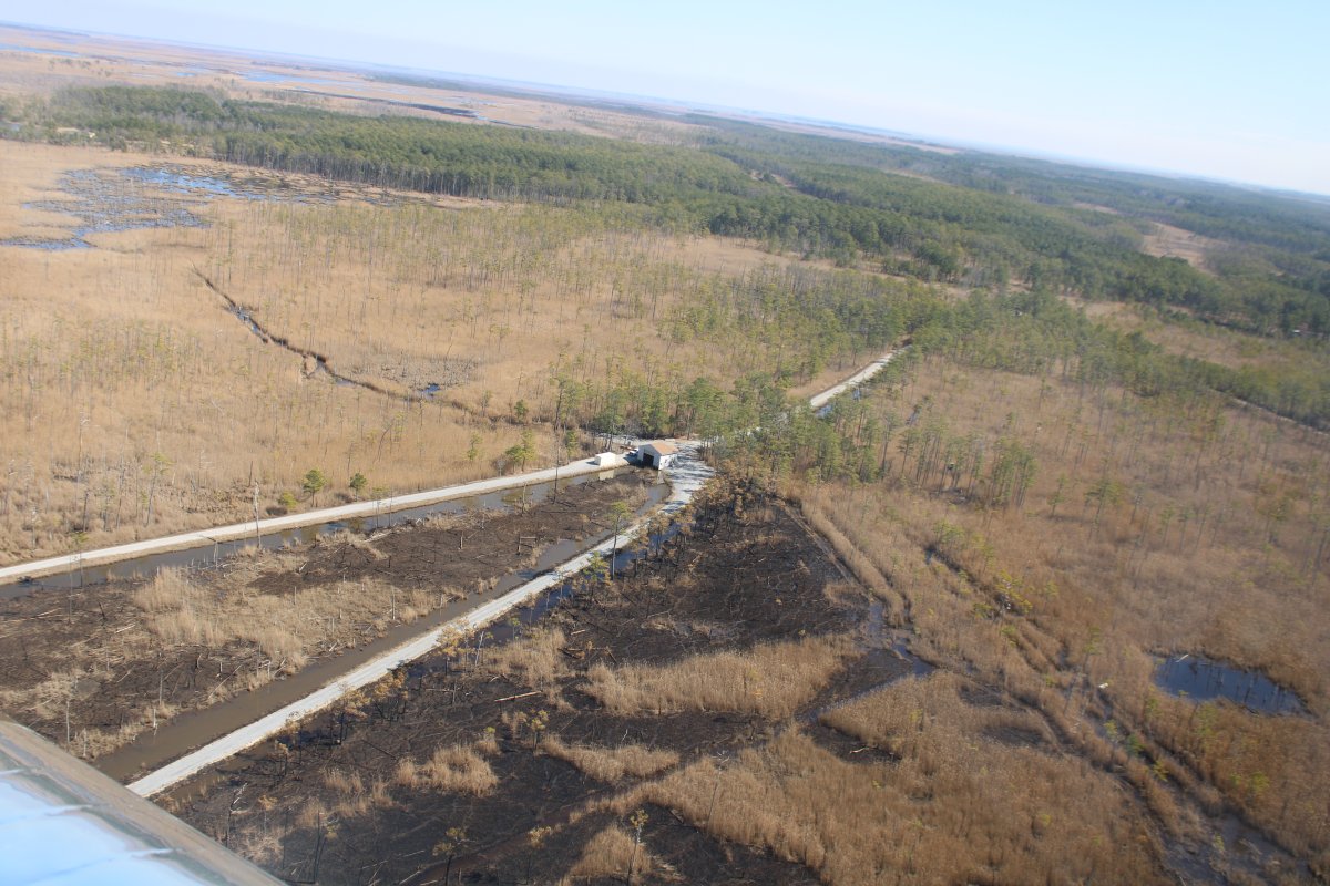
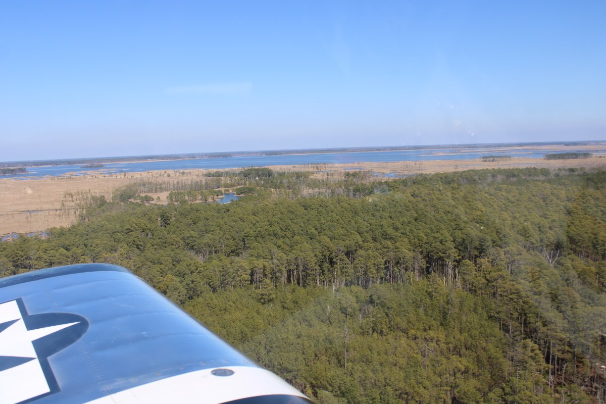
I flew over what used to be Horn Point Aerodrome. It is no longer an airfield although the three turf runways look OK from the air. The former airfield is now a farm that houses The University of Maryland Center for Environmental Science (UMCES), a sprawling center of ecological study. Sprawling, I tell you! The major change is the triangular area at left used to be empty but is now filled with solar panels.
The Potomac Antique Aero Squadron (PAAS) held its Antique Airplane Fly-In here at Horn Point Aerodrome for 44 years, from 1971 until 2015. I myself went to the Horn Point fly-in multiple times: 2004, 2006, 2011, 2012, 2015. It seemed to me airplane attendance declined towards the end. Still, it was one of the better fly-ins, with very interesting planes to look at.
The airfield itself was built in 1937 by Francis DuPont, who had inherited the Horn (or Horn's) Point Farm, as a private landing strip for his Chesapeake Bay hunting lodge. The DuPont's, of course, are one of the most famous families in America. E. I. du Pont de Nemours (24 June 1771 – 31 October 1834) was a French-American chemist and industrialist who founded the gunpowder manufacturer E. I. du Pont de Nemours and Company. His descendants, the du Pont family, have been one of America's richest and most prominent families since the 19th century, with generations of influential businessmen, politicians and philanthropists.
The earliest depiction of Horn Point Aerodrome is on the 1942 USGS topo map. The property remained private until 1968, when the DuPont family gave it to the City of Cambridge. The City gave it to the State in 1971. At some point the State gave it to the University of Maryland. Horn Point Aerodrome was evidently closed between 2015-2016, as it was no longer depicted on the 2016 Washington Sectional Chart.
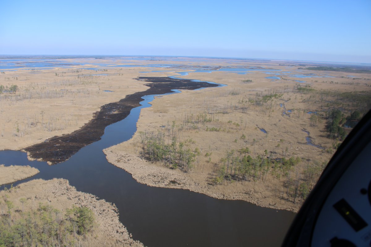
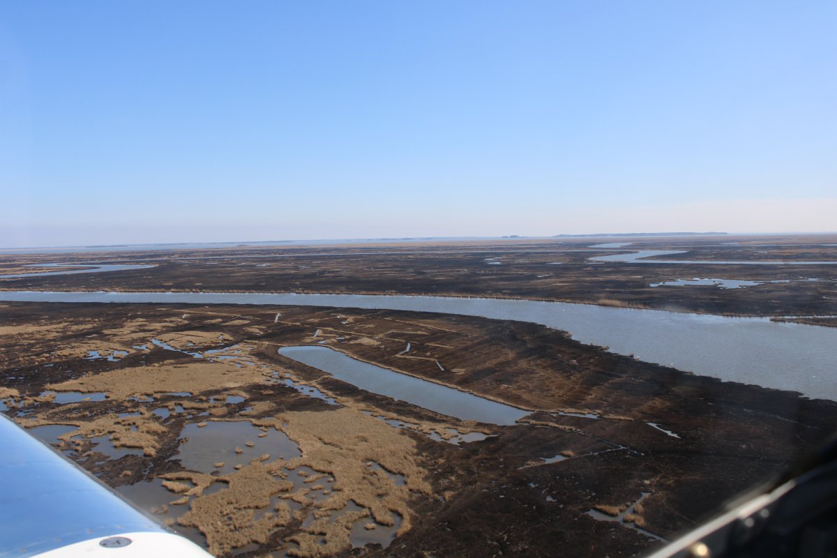
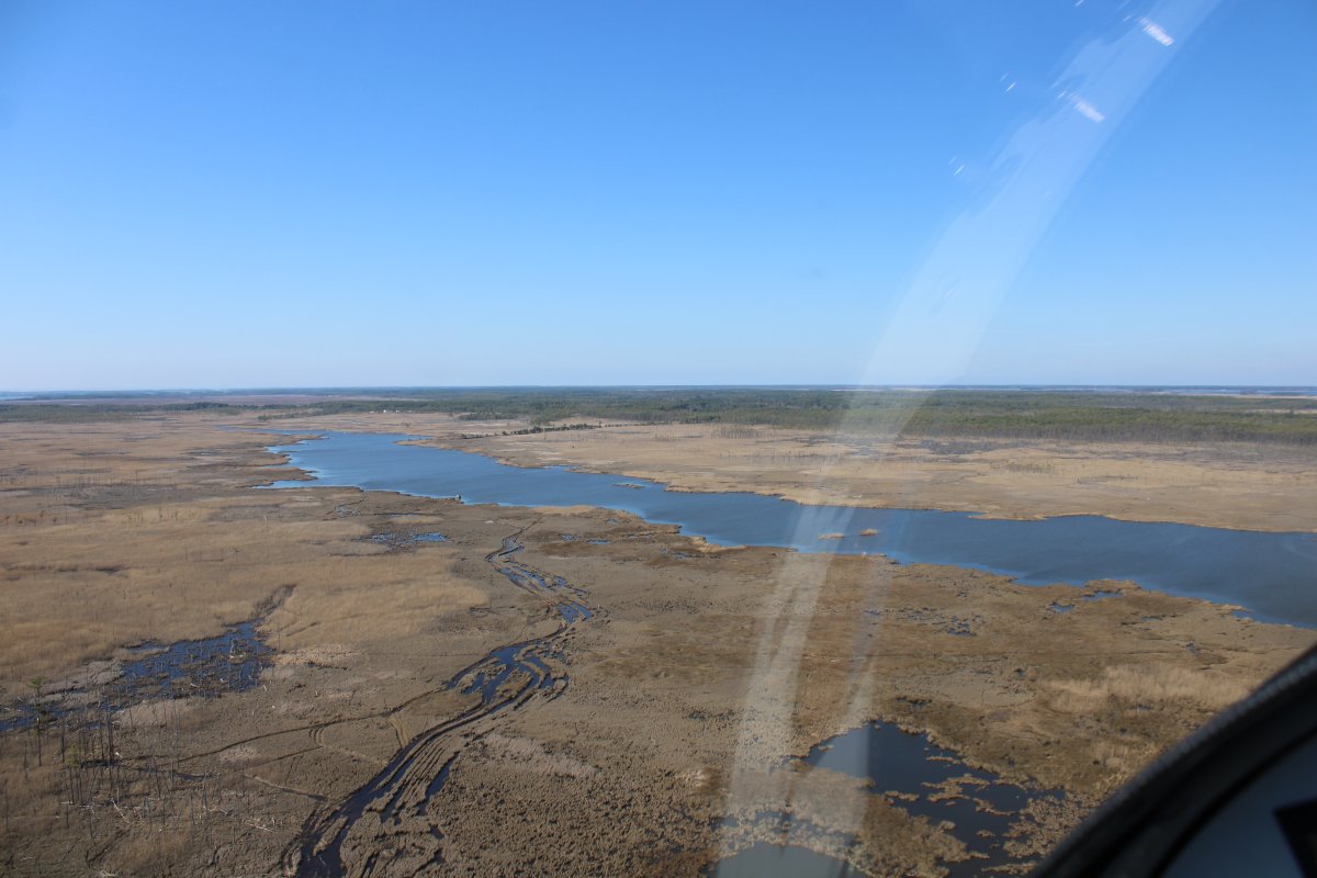
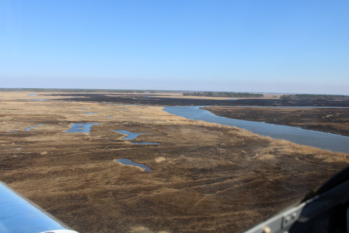
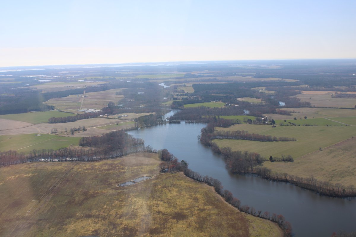
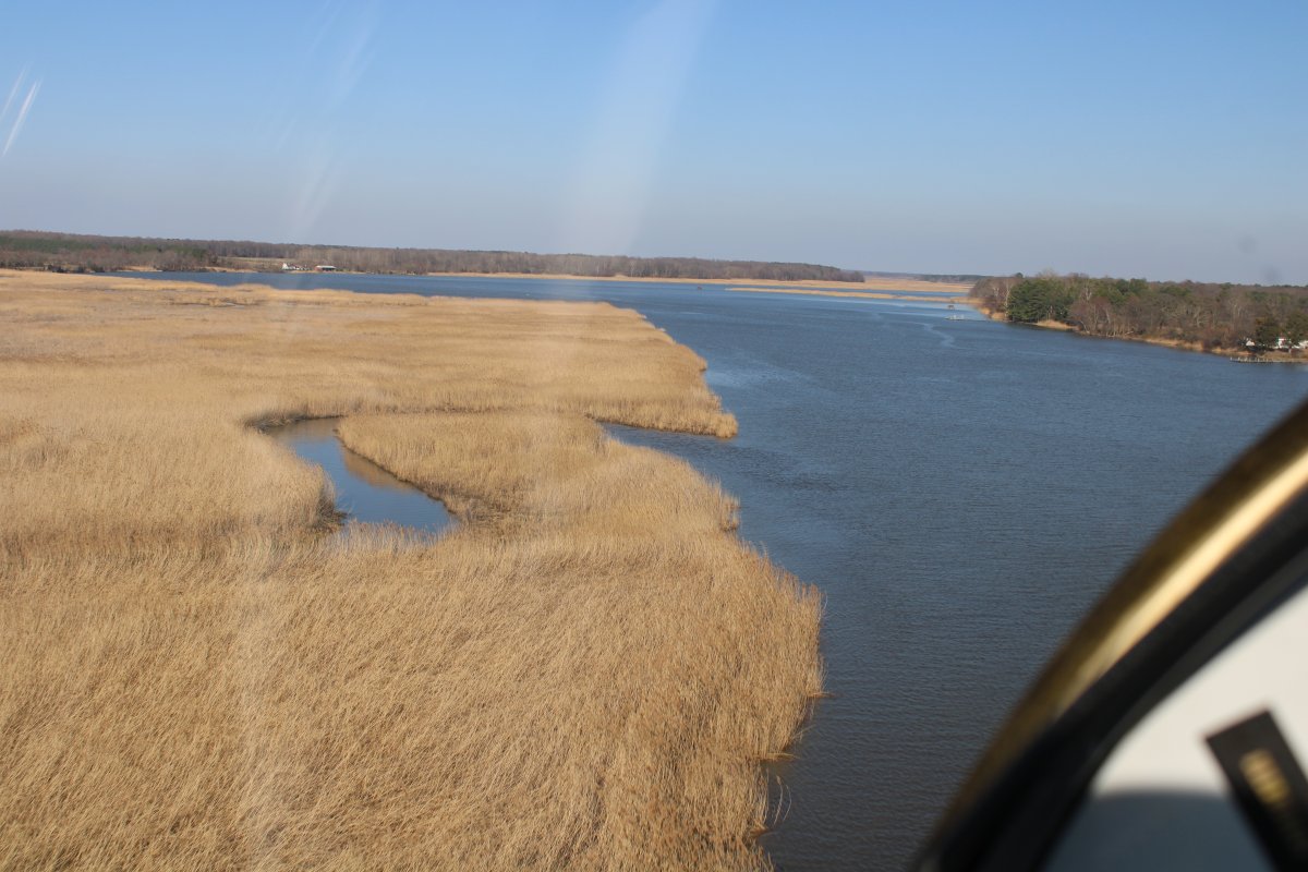
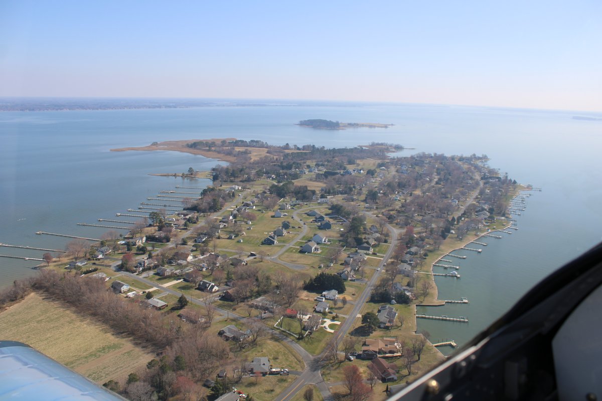
Now heading north up the Choptank River.